Images of Grenzsteinmuseum Ostrach
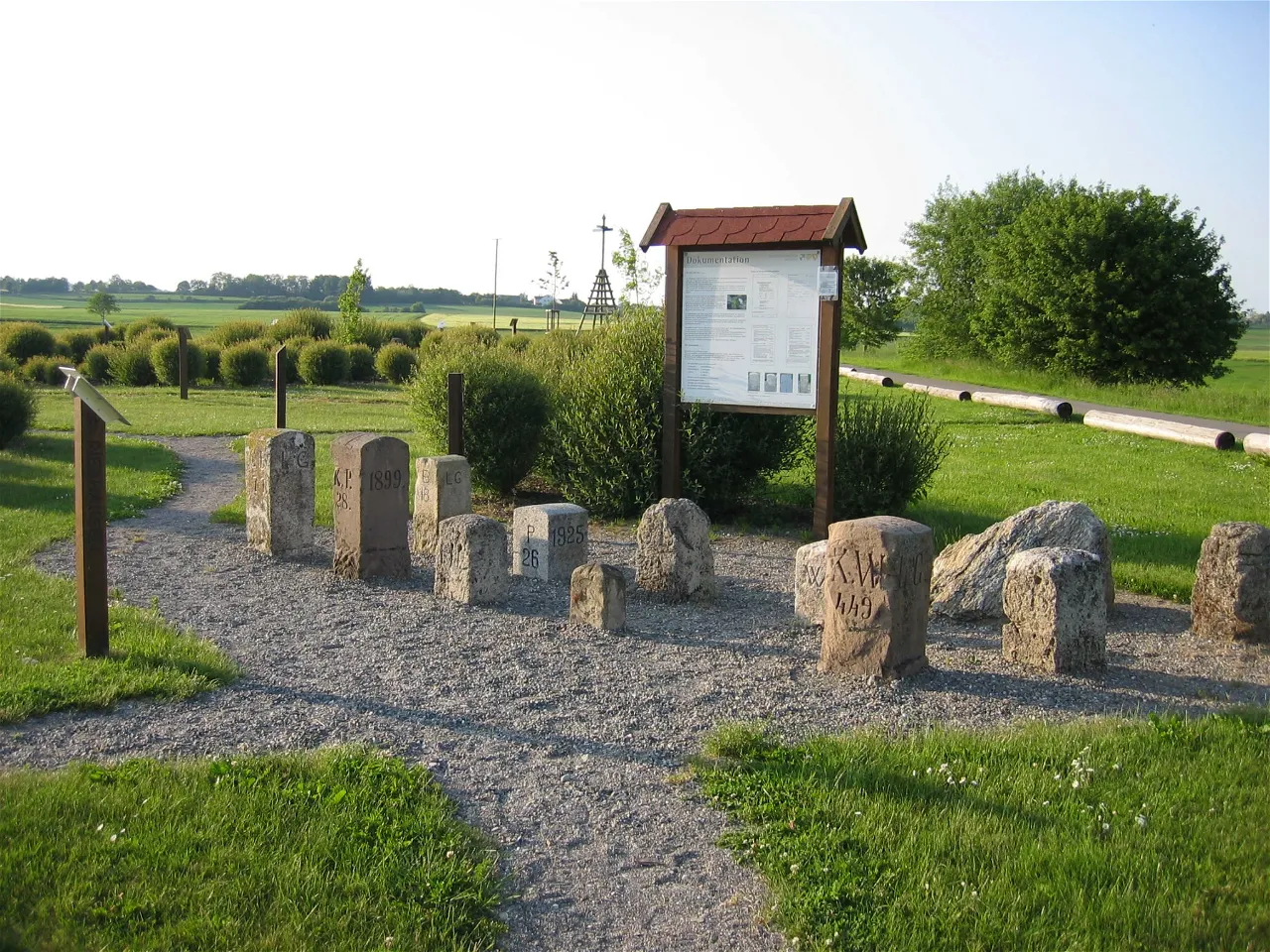
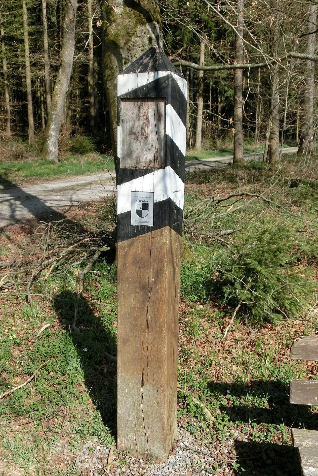
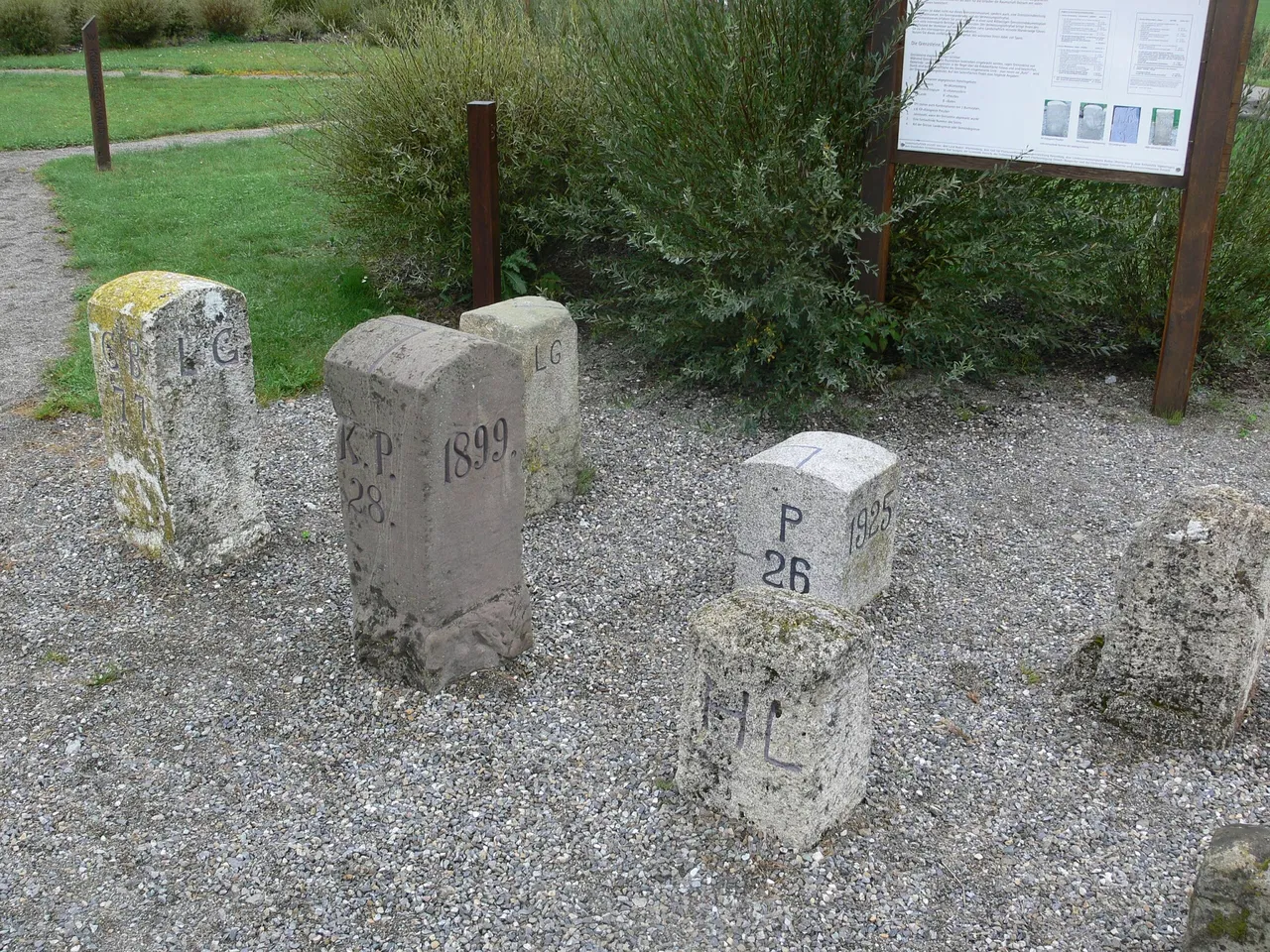
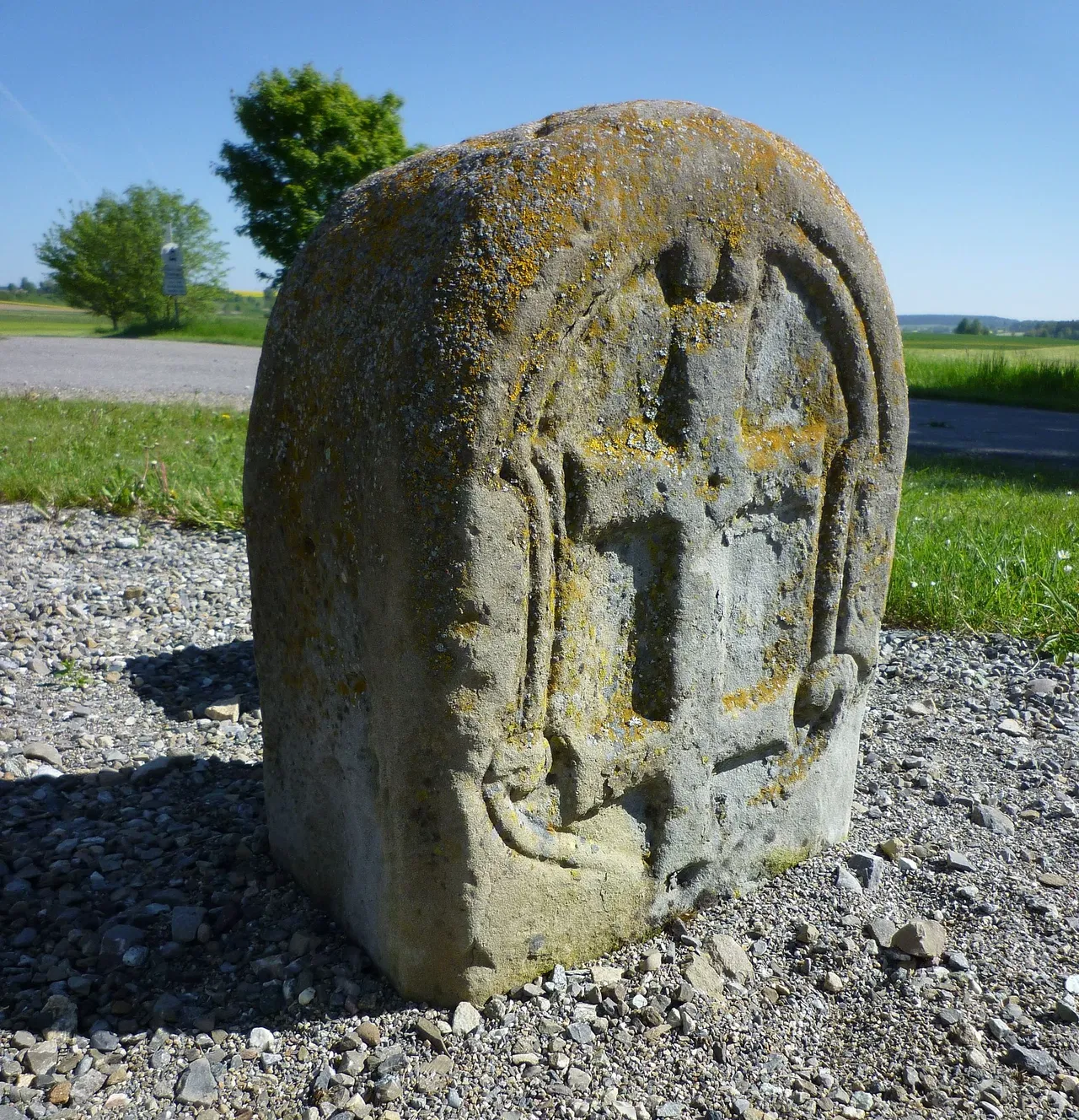

The museum houses a permanent local history exhibition and a 'Grenzsteinmuseum' section. This section showcases border stones, maps, and surveying tools, offering visitors a comprehensive understanding of the region's historical border relations and surveying techniques.
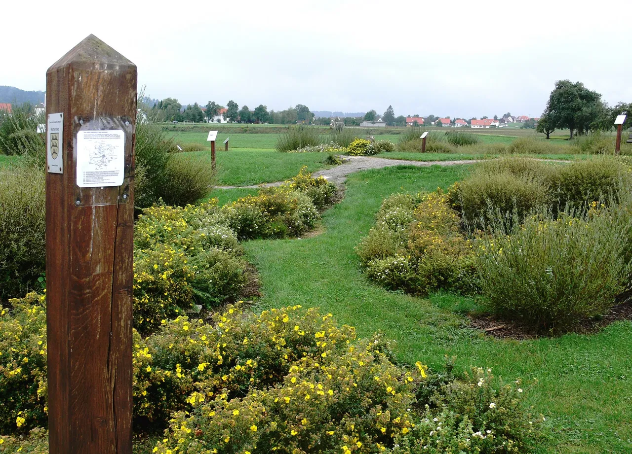
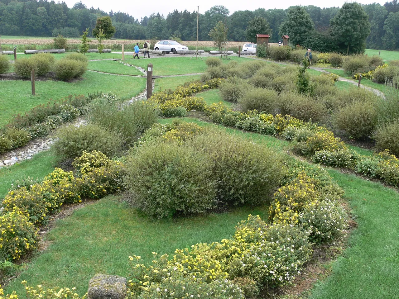
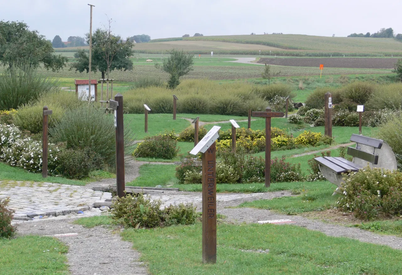
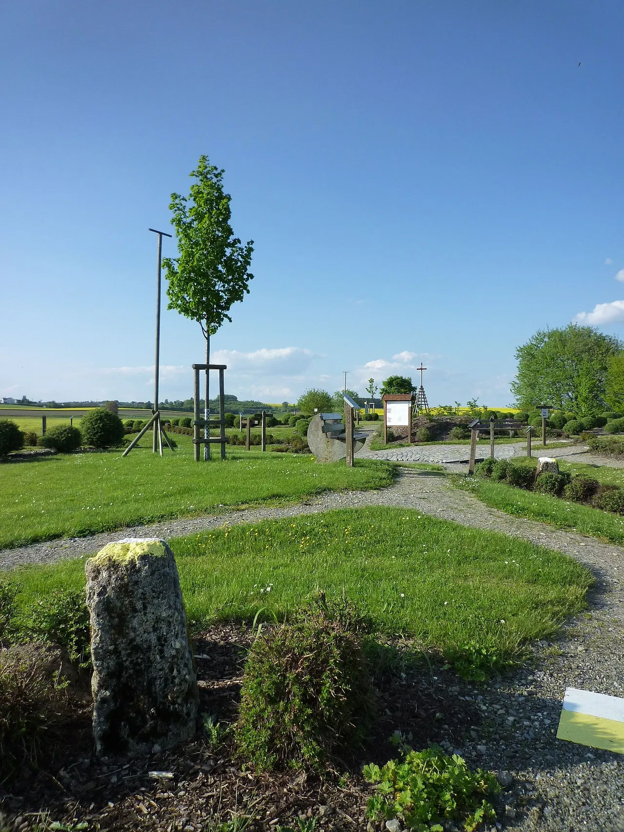
The Grenzsteinmuseum Ostrach's open-air facility is located east of Burgweiler, a part of the Ostrach municipality. This 4,000 square meter area replicates former border lines, settlements, bodies of water, and forests at a 1:200 scale. This unique feature provides a tangible and visual representation of the region's historical geography.
The Grenzsteinmuseum Ostrach offers a 13-kilometer surveying educational trail. This trail documents the history of surveying technology, from the early methods of triangulation to the modern GPS satellite system. It's an engaging way for visitors to learn about the evolution of surveying techniques.
The Grenzsteinmuseum Ostrach offers a 33-kilometer bike tour. This tour leads from the former official residence to two of the four former tri-border areas in the current Ostrach municipality area at Laubbach and Wangen, as well as the border circular hiking trail at Wirnsweiler. This is a great opportunity for visitors to explore the region's historical geography while enjoying a scenic bike ride.
History & Anthropology Science & Technology Open air Industrial heritage
No exhibitions in Grenzsteinmuseum Ostrach have been found.
Grenzsteinmuseum Ostrach has no ratings yet 😢
Discover museums near Grenzsteinmuseum Ostrach in or around Ostrach.